

Latest Weather Blog
Friday PM Forecast: Near-record warmth and fog this weekend, winter returns next week
Areas of dense fog may linger into the weekend alongside highs in the low 80s and near-record warmth. That's before a sharp turn toward winter early next week.
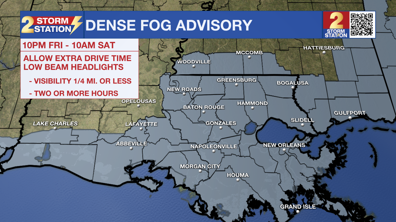
Tonight & Tomorrow: Partly cloudy skies during the evening with eventually give way to a cloudier appearance overnight. Another Dense Fog Advisory will be in effect across all of southeast Louisiana and southwest Mississippi from 10 p.m. Friday through 10 a.m. Saturday. A slight southwest breeze may work to limit widespread fog for inland locations. However, that same wind could drive marine fog onshore overnight. It’s a complex setup, but regardless, know that areas of dense fog will be a possibility into Saturday morning. Holiday travelers should be on the lookout for visibility at or below one-quarter mile. When driving in fog, slow down, use low-beam headlights, and leave extra following distance. Lows will run well above average in the mid-60s.
Fog concerns will diminish as the morning wears on, but clouds will maintain a presence into the afternoon. Even so, highs will still challenge 80° — not far off from the record of 82°. Partial clearing is expected late in the day.
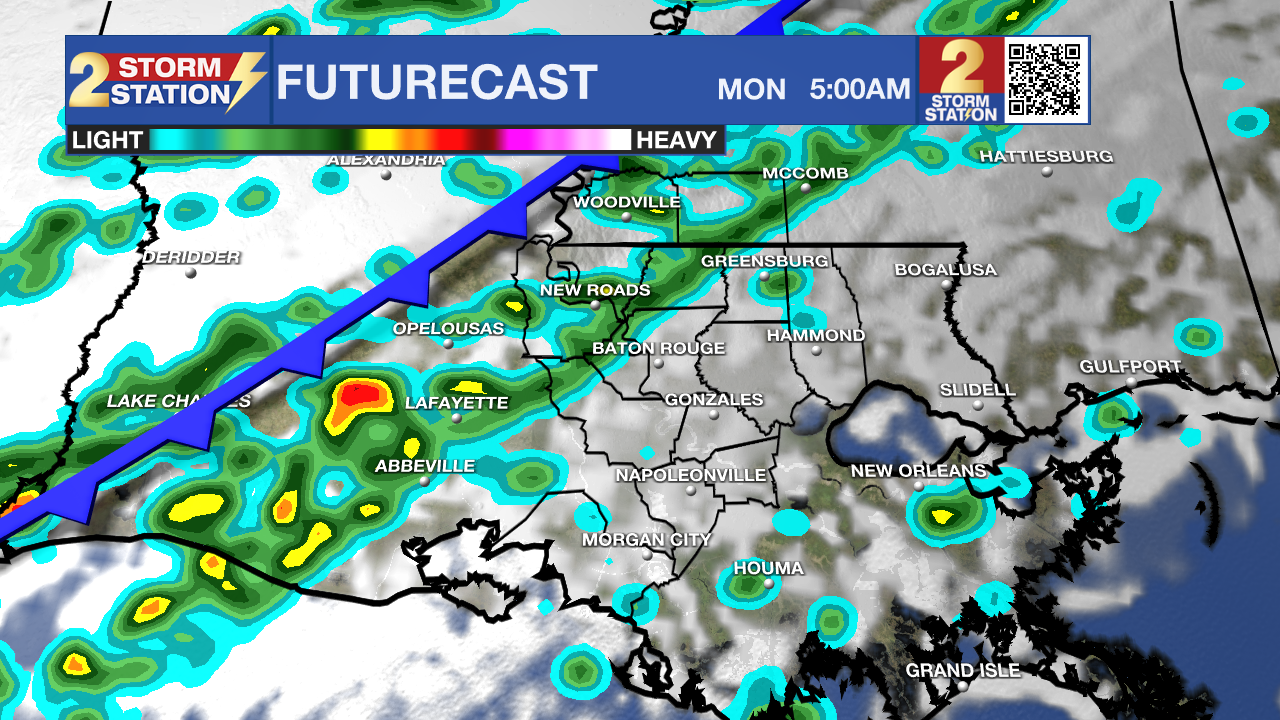
Up Next: Dense fog will be possible on Sunday morning as well, though it may be patchier. The afternoon will be very warm with highs in the low 80s, likely breaking the record of 80°. An increasing southerly wind off the Gulf will kick up some isolated showers into the afternoon, but an arriving cold front on Sunday night will excite a greater coverage of showers. This will be a strong cold front, finally ending the prolonged warm stretch.
Monday’s high will occur before dawn. By daybreak, temperatures will slip into the middle and upper 50s. A brisk north wind will keep readings dropping through the day, leading to a near-freezing start Tuesday. Highs will struggle to top 50° on Tuesday afternoon, with lows potentially dipping into the 20s by New Year’s Eve morning. A gradual warm-up follows into New Year’s Day, with temperatures returning closer to average to start 2026.
Trending News

Get the latest 7-day forecast and real-time weather updates HERE.
Watch live news HERE.
— Meteorologist Malcolm Byron
The Storm Station is here for you, on every platform. Your weather updates can be found on News 2, wbrz.com, and the WBRZ WX App on your Apple or Android device. Follow WBRZ Weather on Facebook and X for even more weather updates while you are on the go.
More News
