

Latest Weather Blog
Thursday AM Forecast: Wetter pattern to end workweek, Possible dip in humidity next week
Storms will ramp up to close the workweek, bringing clouds, downpours, and a slight break from the extreme heat. The weekend trends drier and a bit less humid, with highs still in the mid-90s.
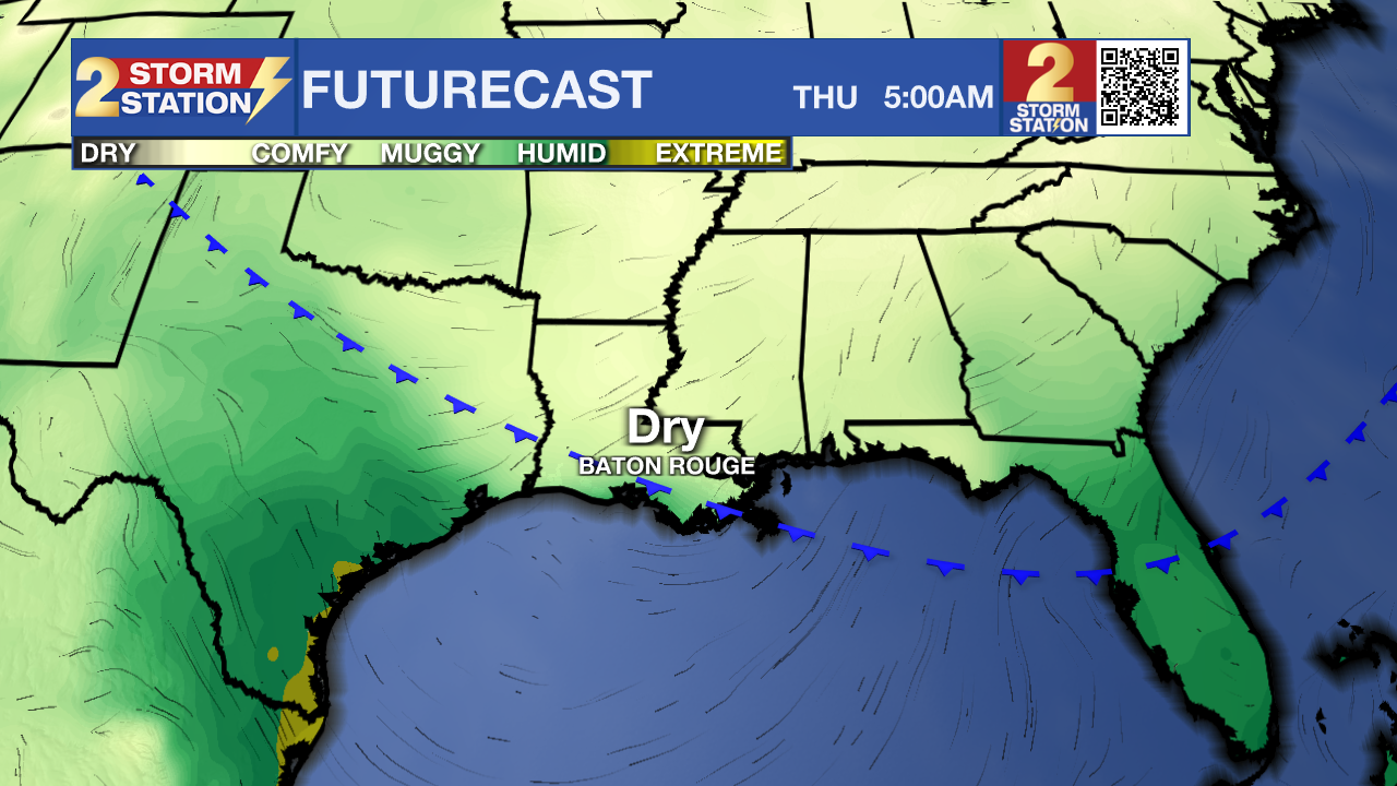
Today & Tomorrow: Shower and storm activity will increase to end the workweek. Thursday will start hot and sunny, with highs climbing into the mid-90s and feels-like temps topping 100° for a time. By midday, increasing tropical moisture and an approaching front will spark numerous showers and thunderstorms, some producing heavy downpours and localized street flooding. Friday keeps the unsettled weather going with mostly cloudy skies and more rounds of showers and storms. Once again, brief flooding in poor drainage areas is possible. Thanks to the clouds and rain, afternoon highs will stay closer to 90°.
The Weekend: By Saturday, the front that sparked end-of-week storms will weaken and slide south, taking much of the extra moisture with it. This will lower rain chances across the region for the weekend. A few isolated storms are still possible Saturday, but by Sunday they’ll be tough to find. Slightly drier air will move in, bringing a small drop in humidity, while highs stay in the mid-90s each afternoon.
Next Week: A second front may reach as far south as the Capital Area by the middle of next week. That front will have another push of dry air. Keep in mind that dry air warms and cools more efficiently, and so highs will hold in the low to mid-90s, but lower humidity will make it feel more tolerable, and mornings could even dip slightly below average in the low 70s and even upper 60s north of I-12.
The Tropics: Hurricane Erin continues as a very large, dangerous storm just east of the North Carolina Outer Banks Thursday morning. The storm is packing winds up to 105mph and will continue to slowly weaken as it takes a northeast turn into the northern Atlantic later this week.
A Storm Surge Warning is in effect from Cape Lookout to Duck, North Carolina, where water levels could rise 2 to 4 feet above normally dry ground. A Tropical Storm Warning covers coastal areas from Beaufort Inlet, NC, to Chincoteague, VA, including the Pamlico and Albemarle Sounds. Residents in these areas can expect strong winds, heavy rain, and flooding near the coast.
Trending News
Even for those far from the center of the storm, Erin’s impacts may be felt. Dangerous surf and life-threatening rip currents are expected along much of the U.S. East Coast, as well as in Bermuda and Atlantic Canada, later this week.

Shower and thunderstorm activity has become a bit more concentrated in association with a tropical wave located a few hundred miles east of the Leeward Islands. Environmental conditions appear conducive for further development of this system, and a tropical depression is likely to form this weekend while it moves near or to the north of the northern Leeward Islands.
Showers and thunderstorms associated with a tropical wave located several hundred miles west-southwest of the Cabo Verde Islands are starting to show some signs of organization. However, recent satellite-derived wind data depict that the system does not have a well-defined center. Environmental conditions appear marginally favorable for additional development over the next day or so while the system moves west-southwestward at around 15 mph, and a short-lived tropical depression could form. By the end of the week, environmental conditions are expected to become unfavorable for
further development.
Get the latest 7-day forecast and real-time weather updates HERE.
Watch live news HERE.
– Emma Kate C.
The Storm Station is here for you, on every platform. Your weather updates can be found on News 2, wbrz.com, and the WBRZ WX App on your Apple or Android device. Follow WBRZ Weather on Facebook and X for even more weather updates while you are on the go.
More News
