

Latest Weather Blog
Wednesday PM Forecast: two cold fronts, more chilly air on the way
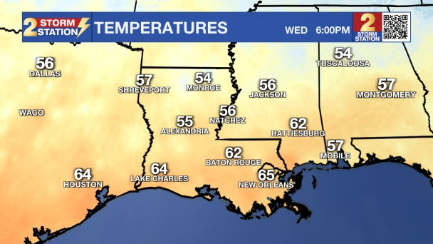
A cold front will sweep through the Capital Area on Wednesday night and will usher in a very wintry feel for the next few days. Despite slight, short attempts at moderating, several reinforcing blows of cold air are expected in the Storm Station 7-Day Forecast.
Tonight & Tomorrow: As a cold front whips through the region tonight, skies will clear from north to south after midnight. Temperatures will tumble quickly after that point, ending up in the low to mid 30s by dawn—as usual, cooler spots will be north of the interstates with warmer spots to the south. Plenty of sunshine is expected on Thursday, but that won’t help temperatures as highs just barely get back to the low 50s. Expect north breezes of 5-10mph.
Up Next: By Friday morning, the cold will settle in even more, and a widespread frost is expected to kick off the day. You will definitely want the heavier coat and maybe a few extra minutes to defrost the windshield! Friday afternoon will give us a quick tease with highs rebounding into the upper 60s, but don't get used to it—another cold front will be right on its heels. That stronger cold front will push through Friday night into Saturday morning. A few, brief showers may occur as the front passes, but like the midweek front, any rain amounts would be light. The bigger story will be another knock on temperatures, with highs on Saturday and Sunday likely staying in the 50s and lows dipping into the 30s.
Trending News

Snow Chance: New data on Wednesday began showing an interesting possibility for Saturday night into early Sunday morning. As very cold air continues spilling into the region, the upper-level energy responsible for the cold front could draw a touch of moisture inland from the Gulf. If there is enough moisture, some light rain or even snow flurries could fall Saturday night while most are sleeping. If any frozen precipitation does occur, no impacts are expected. Skies will clear quickly after dawn on Sunday with a bright, but chilly finish to the weekend.
MLK Day & Beyond: The weather looks cooperative for Martin Luther King Jr. Day on Monday. Expect plenty of sunshine and high temperatures recovering nicely to near 60 degrees—pleasant for outdoor commemorations. The next chance for showers will arrive toward the middle of next week.
Get the latest 7-day forecast and real-time weather updates HERE.
Watch live news HERE.
– Josh
The Storm Station is here for you, on every platform. Your weather updates can be found on News 2, wbrz.com, and the WBRZ WX App on your Apple or Android device. Follow WBRZ Weather on Facebook and X for even more weather updates while you are on the go.
More News
