

Latest Weather Blog
Wednesday AM Forecast: Drier air will cause noticeable change for the end of the week
After a summer full of high humidity, some relief is expected for the end of the week. Drier air will filter in, causing lower humidity and even lower lows.
.png)
Today & Tonight: Expect a sweltering Wednesday as afternoon temperatures peak in the mid-90s, driving heat index values up to 100–105°. A weak cold front—marked by a shift in winds and dropping humidity levels—slips into the area late in the afternoon. This boundary will spark more clouds and isolated thunderstorms, primarily focused south and east of the Baton Rouge metro area. Fueled by abundant daytime heating, any storms that manage to develop may turn strong with localized gusty winds. Activity will taper off after sunset, leaving overnight lows in the mid-70s.
Trending News
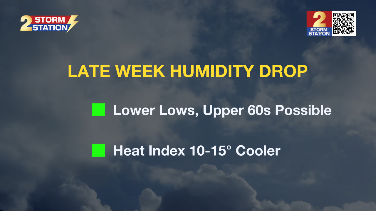
Up Next: A comfortable and refreshing shift in the air arrives Thursday through Saturday behind the departing boundary. Lower humidity levels will sweep in as drier air settles over the area. Even though afternoon highs will remain in the mid-90s, the lower moisture will make conditions feel considerably more tolerable. Heat index values will closely match the actual air temperature, offering a stark contrast to the triple-digit feels-like temps from earlier in the week. By stripping away that extra mugginess, it will feel roughly 10 to 15 degrees cooler to the human body. Nighttime lows will dip into the lower 70s, with a few upper 60s likely north and east of Baton Rouge. Make the most of this lower-humidity stretch, as moisture begins its slow return on Sunday. Look for isolated to scattered showers and storms to make a comeback heading into the start of Astronomical Fall on Tuesday.
Get the latest 7-day forecast and real-time weather updates HERE.
Watch live news HERE.

The Tropics: A trough of low pressure located about 600 miles east of Bermuda continues to produce disorganized showers and thunderstorms. Environmental conditions could become a little more conducive for development in a couple of days while the system moves slowly westward to west-northwestward over the subtropical Atlantic.
– Balin
The Storm Station is here for you, on every platform. Your weather updates can be found on News 2, wbrz.com, and the WBRZ WX App on your Apple or Android device. Follow WBRZ Weather on Facebook and X for even more weather updates while you are on the go.
More News

