

Latest Weather Blog
Wednesday PM Forecast: clear and crisp weather for holiday ahead of weekend rainmaker
Happy Thanksgiving! Have enough layers to stay warm over the next few mornings. Be ready for a gloomy and unsettled stretch of weather beginning around the middle of the weekend.
Thanksgiving and Black Friday: sunny, crisp, and cool
Weekend: increasing clouds leading to a steady rain
Next week: still gloomy, temperatures uncertain
Thursday & Friday: A deep, dry, chilly airmass has settled over the Gulf South thanks to a large trough over the eastern U.S., and that will keep Thanksgiving and Black Friday clear and noticeably cooler. Temperatures will have big swings from chilly mornings to seasonable afternoons. Highs will reach the low 60s both Thursday and Friday. Lows will be in the low to mid 30s north of Baton Rouge and the upper 30s to low 40s in the Metro Area. Widespread frost is likely on Friday morning, especially north and east of the city.
Football Forecasts: Friday night high school football around the Capital Area will enjoy perfect conditions—mainly clear skies, light winds, and chilly temperatures dipping into the 40s by halftime, so jackets will be a must. Southeastern Louisiana’s playoff game should start dry but will have clouds increasing through the day and possibly a shower before the final whistle. The weather ahead of the indoor Bayou Classic in New Orleans on Saturday will be mild and dry, but clouds will increase through the day with a small chance of showers driving home after the game. LSU’s road trip to Oklahoma will likely encounter damp and chilly conditions with early-day rain and temperatures falling from the 50s to the 40s through the afternoon.
Trending News
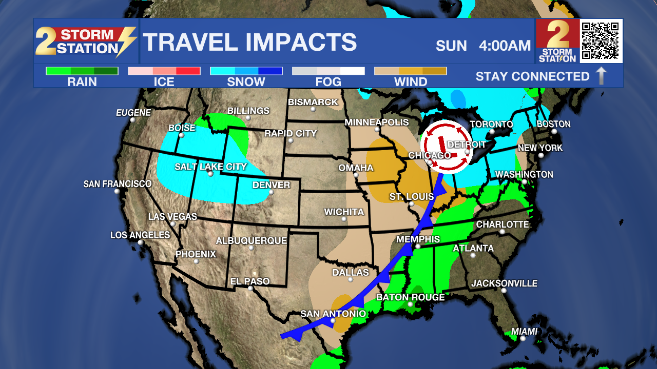
Up Next: After Friday night, the weather pattern will change quickly. On Saturday, moisture will surge back into the region as winds turn southerly, bringing clouds and even isolated, light showers by evening. Saturday certainly won’t be a washout with only 30% rain coverage. The day will begin in the low 40s and end in the upper 60s. More inclement weather will arrive on Sunday. A strong upper-level disturbance will roll across the Gulf South, pulling in unusually high moisture levels for late November. Expect a gray, rainy day with widespread showers, periods of heavy rain, and even a few rumbles of thunder. By the end of Sunday night, some areas could pick up 1–2 inches of beneficial rainfall.
Forecast confidence decreases for early next week. The unsettled pattern is likely to continue with more rounds of showers into early Tuesday. Clearing is anticipated later Tuesday. The rain is the more stable aspect of the forecast, while the temperatures are a bit trickier. The position of a cold front will have a dramatic impact on how it feels. If that front makes it through, early next week will be chilly. If it stalls to our north, we could instead end up warm and somewhat muggy.

The Tropics: For the Gulf, Caribbean, and Atlantic, all is quiet. No new tropical development is expected over the next seven days.
Get the latest 7-day forecast and real-time weather updates HERE.
Watch live news HERE.
– Josh
The Storm Station is here for you, on every platform. Your weather updates can be found on News 2, wbrz.com, and the WBRZ WX App on your Apple or Android device. Follow WBRZ Weather on Facebook and X for even more weather updates while you are on the go.
More News
