

Latest Weather Blog
Wednesday PM Forecast: Rain chances drying up, sunshine and heat to dominate
Three words to sum up the forecast: warm, sunny, dry
Tonight & Tomorrow: Any leftover showers will quickly fizzle out after dark, with skies generally clearing. The muggy feel will remain with lows settling in the upper 60s to low 70s. Thursday will be largely sunny, with only a few puffs of cumulus developing during the afternoon. The afternoon will be quite warm with a high in the low to mid-90s. A slight northeast breeze at 5-10 mph will help bring some pockets of dry air down to the surface, helping to keep humidity in check during the day. Rain is not expected.
Up Next: Sprinklers will get plenty of action in the next week as sunshine and heat take over. With highs climbing into the mid-90s by the weekend, plan for hot afternoons if headed to after-work or school events. Tailgaters heading to LSU’s campus for the SEC opener Saturday should expect the same setup. Temperatures will fall through the 80s on most evenings, with overnight lows bottoming out in the upper 60s and lower 70s. While noticeable, humidity will not be at summertime levels. That will help mornings and evenings feel slightly more tolerable.
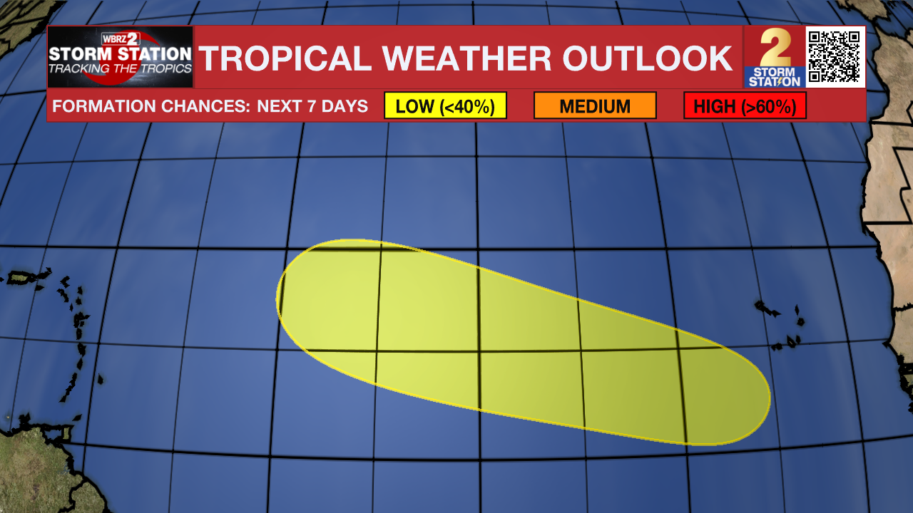
The Tropics: A tropical wave will emerge off the west coast of Africa in a couple of days. Conditions may support slow development of the system over the weekend and into early next week as it moves through the tropical Atlantic.
Get the latest 7-day forecast and real-time weather updates HERE.
Trending News
Watch live news HERE.
— Meteorologist Malcolm Byron
The Storm Station is here for you, on every platform. Your weather updates can be found on News 2, wbrz.com, and the WBRZ WX App on your Apple or Android device. Follow WBRZ Weather on Facebook and X for even more weather updates while you are on the go.
More News
