

Latest Weather Blog
Sunday evening video forecast
Related Story
A strong weather system moving throughout the country will affect us on Tuesday and Wednesday. We can expect an increase in rain chances, as well as an eventual cooldown.

Tonight & Tomorrow: Cloudy skies will hang around in the overnight hours, limiting lows to the upper 60s. More gray and gloomy skies are expected Monday, but not much rain will occur. Spotty showers are possible, but most will stay dry. Highs will top out in the lower 80s.
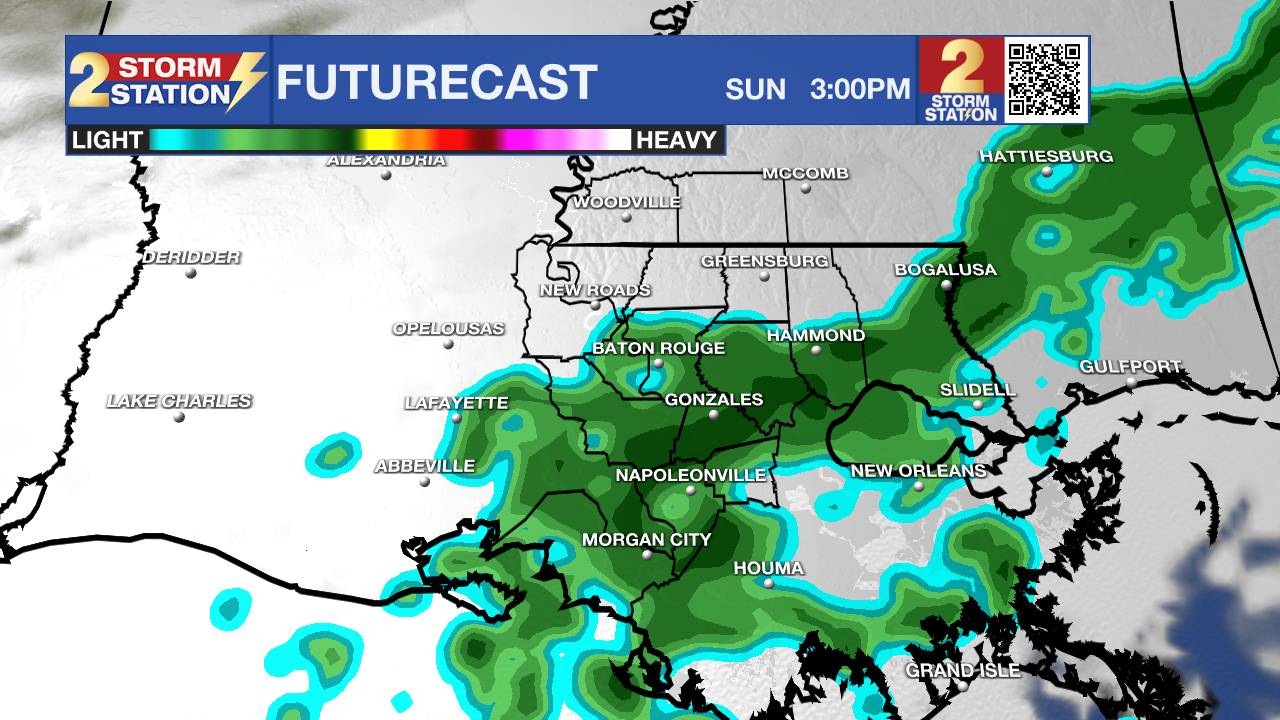
Use the slider to advance through the next 24 hours of Futurecast
Up Next: As a cold front approaches the area on Tuesday, rain chances will increase. Daytime activity will be possible, but storms should stay isolated in nature, and be limited to the afternoon and evening. Overnight and early Wednesday morning is when the front is expected to pass. This is where the best rain chances will occur, although current modeling has backed off a bit. Still, scattered showers and thunderstorms are possible. There continues to be some indication of possibly a few stronger cells, but the severe threat looks low. After some lingering showers Wednesday, rain chances will take a steep nose dive for the rest of the week. Temperatures will cool as well, with highs in the 70s and lows in the mid to lower 50s. This should last into the weekend!
Tropics: Tropical activity is not expected over the next seven days.
Get the latest 7-day forecast and real-time weather updates HERE.
Watch live news HERE.
- Balin
The Storm Station is here for you, on every platform. Your weather updates can be found on News 2, wbrz.com, and the WBRZ WX App on your Apple or Android device. Follow WBRZ Weather on Facebook and X for even more weather updates while you are on the go.
News

