

Latest Weather Blog
Severe Thunderstorm Watch in effect for parts of the area; strong storms moving in
The National Weather Service has issued a SEVERE THUNDERSTORM WATCH for Livingston, St. Helena, and Tangipahoa Parishes until 7 p.m. Monday. Areas along and west of Baton Rouge are not included in the watch, but the Storm Station will still monitor for a few strong storms outside the watch area.
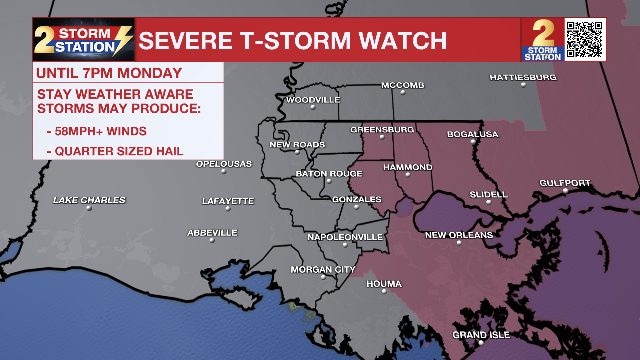
A SEVERE THUNDERSTORM WATCH means that conditions are favorable for damaging straight-line wind gusts in excess of 60 mph or quarter-size hail. Be on the lookout for threatening weather conditions and listen for later statements and possible warnings. If a Severe Thunderstorm Warning is issued, seek shelter indoors. Frequent lightning often accompanies severe thunderstorms as well.
The primary threats include isolated wind gusts up to 65 mph. Scattered to numerous showers and thunderstorms will push south through the afternoon, arriving in the I-10/12 corridor in the 1-4 p.m. window. The storms should clear the coast by early evening. Check the latest radar imagery below.

Trending News
Remember that the WBRZ WX App. is *free* on Apple and Android devices and can be used for breaking weather information, live radar, and forecast details. You can also use it to watch live coverage if power or broadcast signal is ever lost. For even more, connect with the Storm Station on X and Facebook. Stream WBRZ+ for continuous information as it becomes available.
More News

